Oudekaarten.com
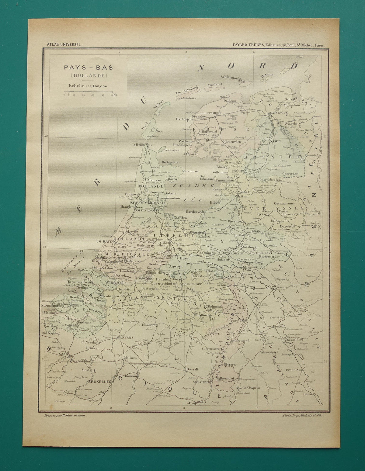
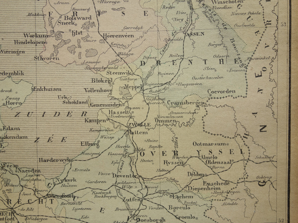
NETHERLANDS old map of Netherlands 1896 original antique French hand-colored map Amsterdam Rotterdam Utrecht
Couldn't load pickup availability
Deel
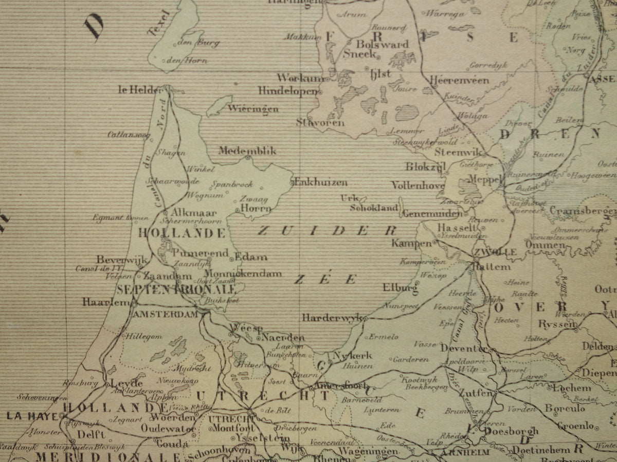
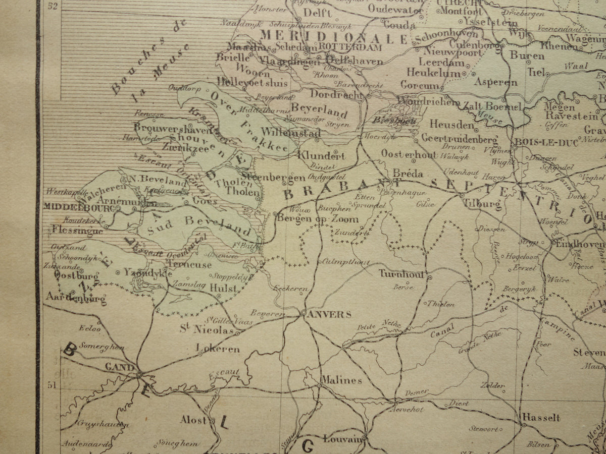
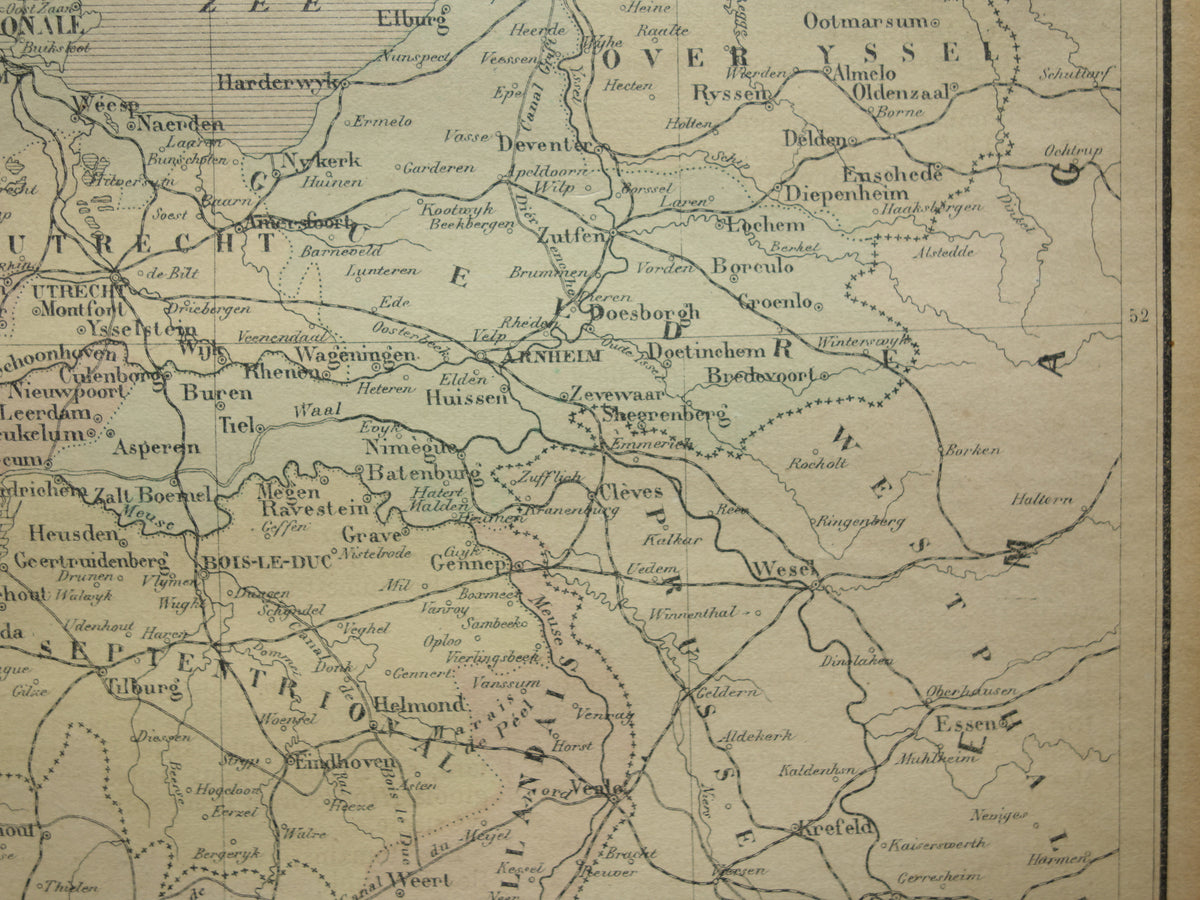
Nice antique French map of the Netherlands from 1896. The map is hand-colored, which is very unusual for maps made so late in the 19th century. Railways are also shown on the map.
Dimensions: 23 x 31 cm
Condition: in good condition (= only a few minor signs of age/use - paper is slightly browned - 1 cm tear at the bottom right, barely visible and repaired on the back)
Source: Atlas Universel by Brugere, published in Paris by Fayard (1896)


-
Guaranteed original old maps
We sell only original antique and vintage maps. We guarantee that your purchase was made on or around the date stated in the description.
-
Fast shipping
We ship same or next business day. Free or discounted shipping when you order two items. Click here for more info
"Beautiful card, exactly as described. Fast shipping and the card was packaged perfectly. Great transaction, thank you very much!"
ANNE ESCHER