Oudekaarten.com
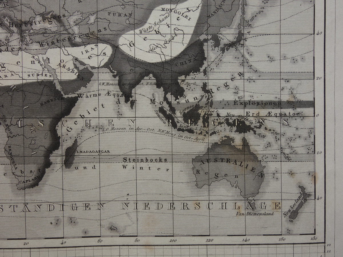
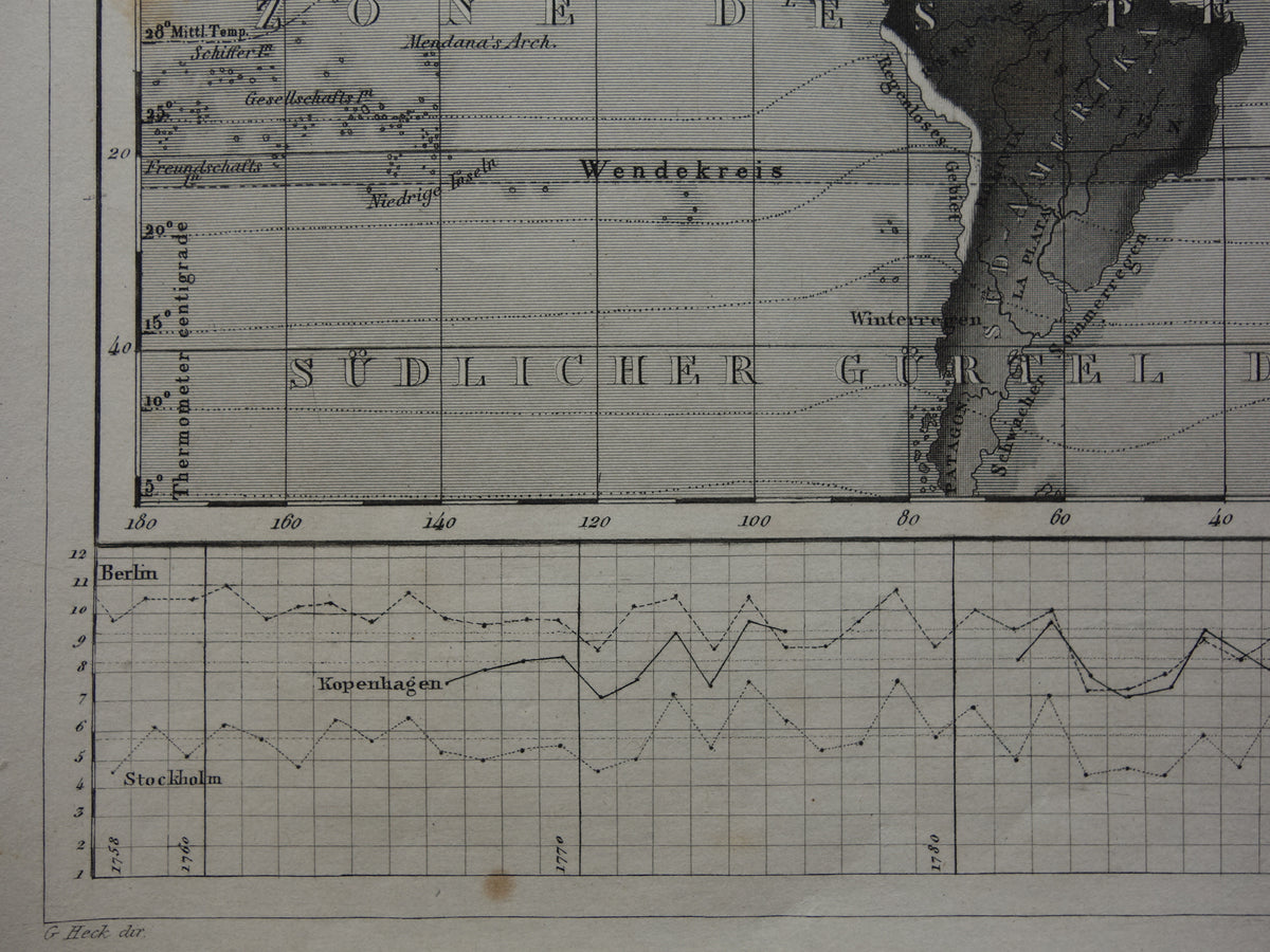
WORLD MAP old climate map of the world 1849 original antique map about meteorology climate precipitation rain
Couldn't load pickup availability
Deel
For sale is an antique German meteorological world map. The main map shows precipitation in various shades of gray. The charts above and below show the temperatures of Padua and Leith for each month of the year (top left), the average temperature for each decade from 1756 to 1838 for Berlin, Copenhagen and Stockholm. The bottom chart shows the average temperature in Berlin, Copenhagen and Stockholm for each year from 1758 to 1834.
Dimensions: 22 x 28 cm
Condition: good (= minor signs of age and use). The paper has some brown age spots, but the print is in good overall condition.
Source: Bilder-Atlas Brockhaus-Lexikon - 1849 edition


-
Guaranteed original old maps
We sell only original antique and vintage maps. We guarantee that your purchase was made on or around the date stated in the description.
-
Fast shipping
We ship same or next business day. Free or discounted shipping when you order two items. Click here for more info
"Beautiful card, exactly as described. Fast shipping and the card was packaged perfectly. Great transaction, thank you very much!"
ANNE ESCHER