Oudekaarten.com
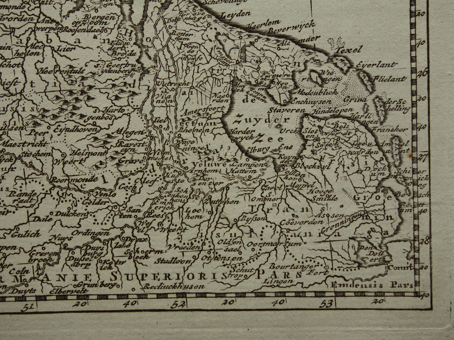
200+ year old map of the Netherlands and Belgium 1790 original antique map of Holland small format
Couldn't load pickup availability
Deel
For sale is a beautiful 18th-century map of the Netherlands and Belgium. It's a small map, but it's very detailed. Zoom in on the photos to see it clearly.
Dimensions: 17.5 x 19 cm (sheet) / 13 x 16.5 (map image)
Condition: very good
Origin: The origin of this map is unknown - the original map image is by Nicolas Sanson d'Abbeville in the early 18th century - this slightly modified engraving is from the late 18th century
ORDER WITHOUT RISK
At Oudekaarten.com, ordering is always risk-free. Not completely satisfied with your purchase? You can return it and receive a full refund. Returns are free for Dutch customers.

-
Guaranteed original old maps
We sell only original antique and vintage maps. We guarantee that your purchase was made on or around the date stated in the description.
-
Fast shipping
We ship same or next business day. Free or discounted shipping when you order two items. Click here for more info
"Beautiful card, exactly as described. Fast shipping and the card was packaged perfectly. Great transaction, thank you very much!"
ANNE ESCHER