Oudekaarten.com
AFRICA Large old map of Southern Africa 1875 original antique map showing routes of explorers Livingstone
Couldn't load pickup availability
Share
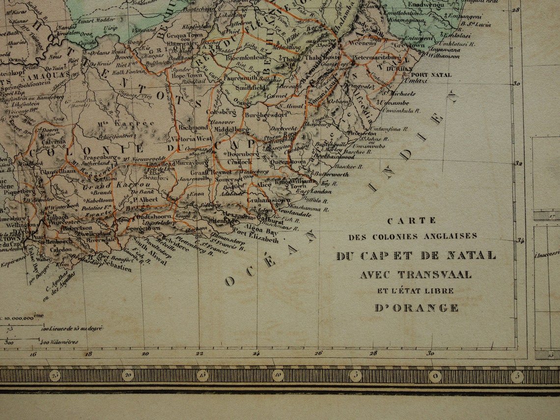
Large antique French map of the southern part of Africa. This map is hand-colored. The map shows 8 routes taken by various explorers, including Stanley and Livingstone.
Dimensions: 47.5 x 61.5 cm (large)
Condition: fair. Paper very browned. About five small tears in the bottom edge (largest is 2 cm). Some offsetting, see photos. Map was issued with a centerfold.
Origin: 'Atlas Universel de geographie physique, politique, ancienne et moderne' - A. Brué - Edition 1875
ORDER WITHOUT RISK
At Oudekaarten.com you always order without risk. Not completely satisfied with your purchase? You can return your purchase and receive a full refund. For Dutch customers, returns are free.

-
Guaranteed original
We sell only original antique and vintage maps. We guarantee that your purchase was made on or around the date stated in the description.
-
Fast shipping
We will ship your order the next business day at the latest. Free shipping within the Netherlands when purchasing 2 cards. Click here for more information
"Beautiful card, exactly as described. Fast shipping and the card was packaged perfectly. Great transaction, thank you very much!"
ANNE ESCHER