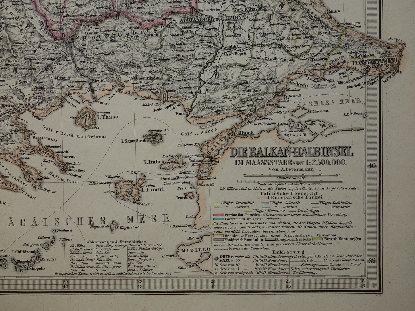
For sale is an interesting old map of the Balkans in the year 1886. This German map is very detailed; zoom in on the photos to see this clearly. In the bottom left, there are inset maps of Istanbul and the Bosphorus. The map clearly shows the slow decline of the Turkish Empire in Europe: Serbia, Romania/Wallachia, Bosnia-Herzegovina and Montenegro are depicted as independent countries. Bulgaria and Eastern Rumelia still belong to the Turkish Empire. It is striking that Bulgaria is colored blue on the south side (as an independent country) and has the border color of the Turkish Empire on the north side. This may be related to the fact that 1886 was a turbulent year, as on April 17, 1886, Eastern Rumelia returned to the Turkish Empire after having been annexed by Bulgaria in 1885. The year 1886 is printed in small font at the bottom. The map is a hand-colored copper engraving, printed on heavy paper.
Dimensions: 38 x 47 cm
Condition: the map is in good overall condition. The paper has some brown age spots, mainly on the edges. The paper is entirely intact except for a tear of a few mm (at the bottom of the center fold).