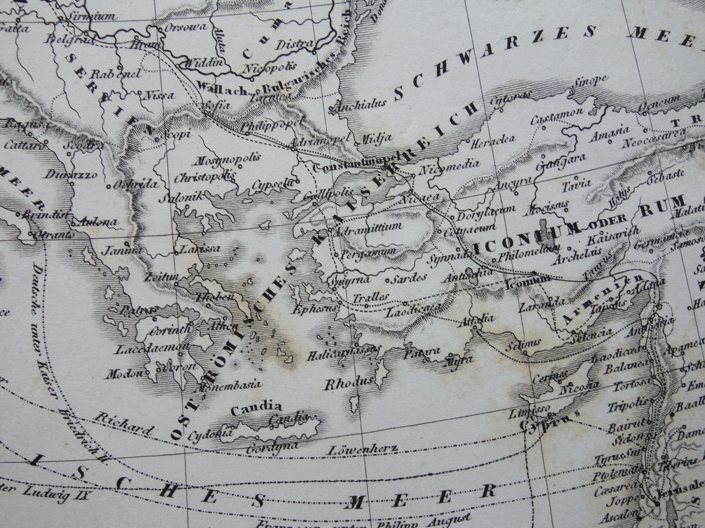
For sale is a beautiful, antique German map of Europe during the Crusades. The routes of 6 Crusades to the Holy Land are depicted on the map. Zoom the photos to see the details of the map.
Dimensions: 22.5 x 30.5 cm
Condition: good (= the paper has brown age spots, but is completely intact - in good overall condition)
Origin: Picture Atlas for the Dictionary of Literature- Edition 1849
ORDER WITHOUT RISK At Oudekaarten.com you always order without risk. Are you not completely satisfied with your purchase? You can return your purchase free of charge and will then receive your full purchase amount back.
We sell only original antique and vintage maps. We guarantee that your purchase was made on or around the date stated in the description.
Fast shipping
We will ship your order the next business day at the latest. Free shipping within the Netherlands when purchasing 2 cards. Click here for more information
"Beautiful card, exactly as described. Fast shipping and the card was packaged perfectly. Great transaction, thank you very much!"
ANNE ESCHER
Choosing a selection results in a full page refresh.