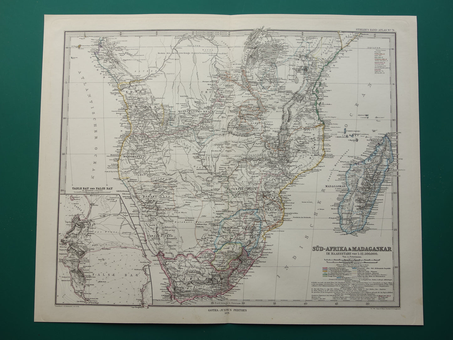
Antique map of Africa in 1878 Large original 145+ year old map of South Africa Madagascar Angola Namibia Botswana Tanzania Congo Mozambique Zambia Route Livingstone Andersson
Beautiful antique map of Southern Africa in 1878. On the one hand, the map is very detailed, on the other hand, the blank areas on the map also clearly show that large parts of the continent had not yet been charted. The routes of some 15 different explorers, including Livingstone of course, can be found on the map. In addition, the map shows gold mines, railways, roads, lakes and habitats of various tribes, among other things. In the bottom left, an inset map of Cape Town and the Cape of Good Hope. The map is a hand-coloured copper engraving. Nice wide margins and very suitable for framing.
Dimensions: 37 x 45.5 cm
Condition: very good. Map was published with a centre fold