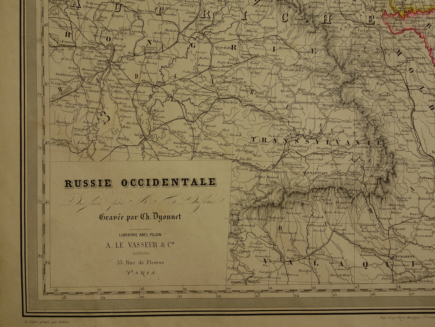
Beautiful very detailed antique French map of European Russia with Poland, the Baltic States, Ukraine and Crimea all still part of the Russian Empire. The map is very large and the colours are very vibrant. Top right an inset map of St Petersburg and surroundings. Zoom the photos for the best view. Nice wide margins and very suitable for framing.
Dimensions: the map measures 60 x 82 cm (very large for an antique map)
Condition: the map is in good condition (= some minor signs of age/use, mostly in the margins - repaired tear of 2.5 cm in left margin - in good general condition). Printed on heavy paper. Published with centerfold
Origin: Grand Atlas Universel - AH Dufour- Edition of 1885 (circa)
ORDER WITHOUT RISK At Oudekaarten.com you always order without risk. Are you not completely satisfied with your purchase? You can return your purchase free of charge and will then receive your full purchase amount back.
We sell only original antique and vintage maps. We guarantee that your purchase was made on or around the date stated in the description.
Fast shipping
We will ship your order the next business day at the latest. Free shipping within the Netherlands when purchasing 2 cards. Click here for more information
"Beautiful card, exactly as described. Fast shipping and the card was packaged perfectly. Great transaction, thank you very much!"
ANNE ESCHER
Choosing a selection results in a full page refresh.