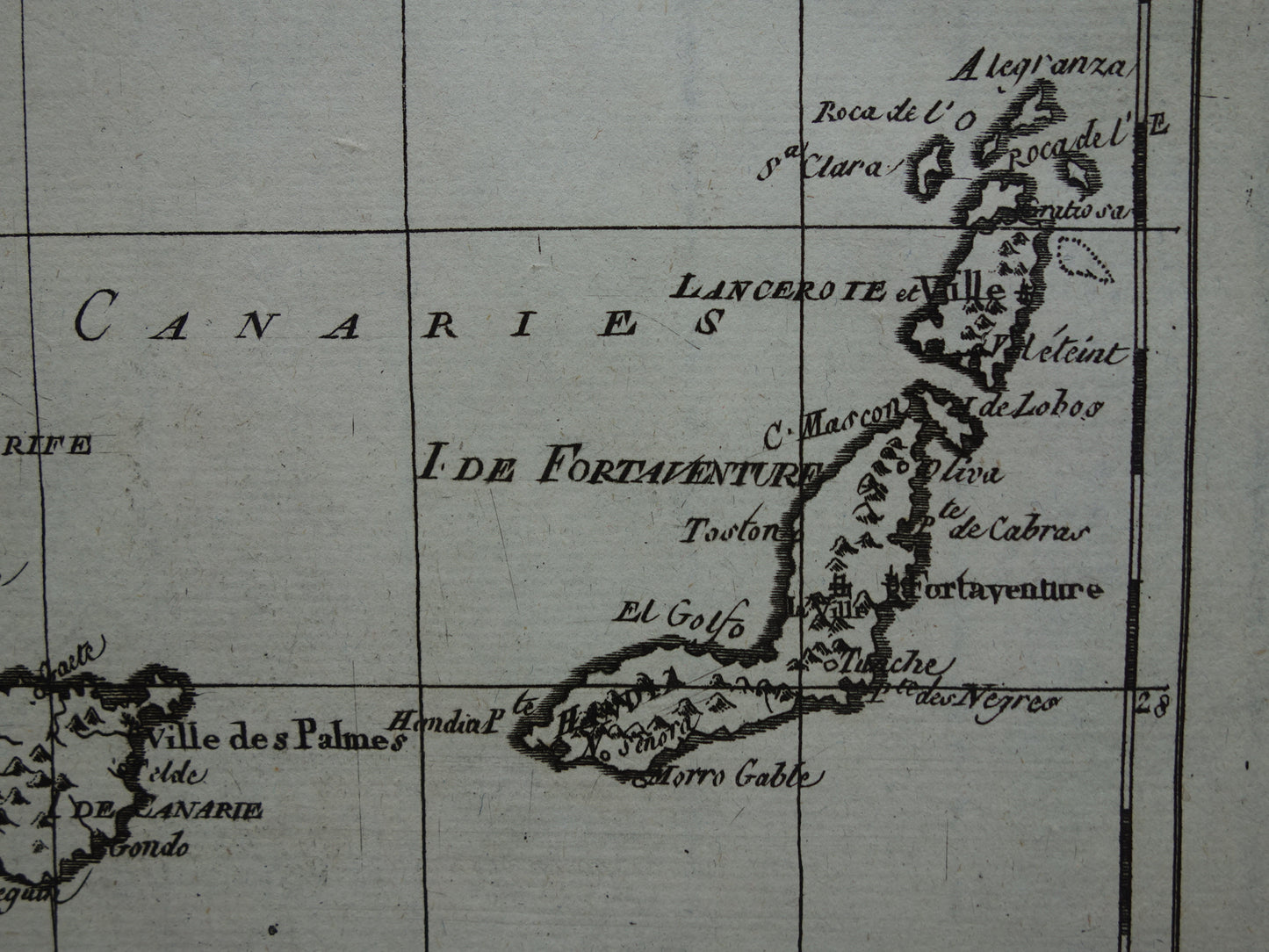
Beautiful, antique map of the Canary Islands, Madeira, and Porto Santo, over 200 years old. It is a copper engraving printed on laid paper. This French map was designed by the renowned cartographer Rigobert Bonne.
Dimensions: 24.5 x 36 cm
Condition: Good (some minor signs of age/use). The paper is intact. The map has a center fold, as issued.
Origin: ' Atlas de toutes les Parties Connues du Globe Terrestre, Dressé Pour l'Histoire philosophique et politique des Etablissemens & du Commerce des Européens dans les deux Indes' - Raynal / Bonne - 1784
We sell only original antique and vintage maps. We guarantee that your purchase was made on or around the date stated in the description.
Fast shipping
We will ship your order the next business day at the latest. Free shipping within the Netherlands when purchasing 2 cards. Click here for more information
"Beautiful card, exactly as described. Fast shipping and the card was packaged perfectly. Great transaction, thank you very much!"
ANNE ESCHER
Choosing a selection results in a full page refresh.