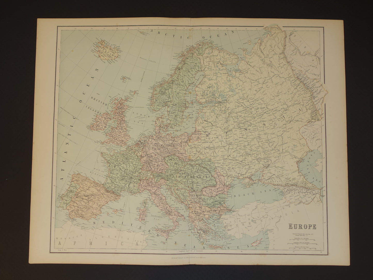
For sale is a beautiful, large, vintage map of Europe from 1890. This colorful English map is highly detailed and perfect for framing.
Dimensions: 54.5 x 69.5 cm
Condition: good. Some brown age spots. Published with centerfold. There is a small tear of approximately 2 cm at the top and bottom of the centerfold. Repaired on the back. In good overall condition.
Origin:Imperial Atlas - George Philip & Son - Published 1890
ORIGINAL ANTIQUE MAP Oudekaarten.com sells only original old maps; we do not sell modern reprints.
ORDER WITHOUT RISK At Oudekaarten.com, ordering is always risk-free. Not completely satisfied with your purchase? You can return it free of charge and receive a full refund.
FAST SHIPPING This card will be shipped within 1 business day.
DISCOUNT AND FREE SHIPPING Buy two items and receive free shipping. Buy four or more items and receive a 25% discount on your total order amount and free shipping.
We sell only original antique and vintage maps. We guarantee that your purchase was made on or around the date stated in the description.
Fast shipping
We will ship your order the next business day at the latest. Free shipping within the Netherlands when purchasing 2 cards. Click here for more information
"Beautiful card, exactly as described. Fast shipping and the card was packaged perfectly. Great transaction, thank you very much!"
ANNE ESCHER
Choosing a selection results in a full page refresh.