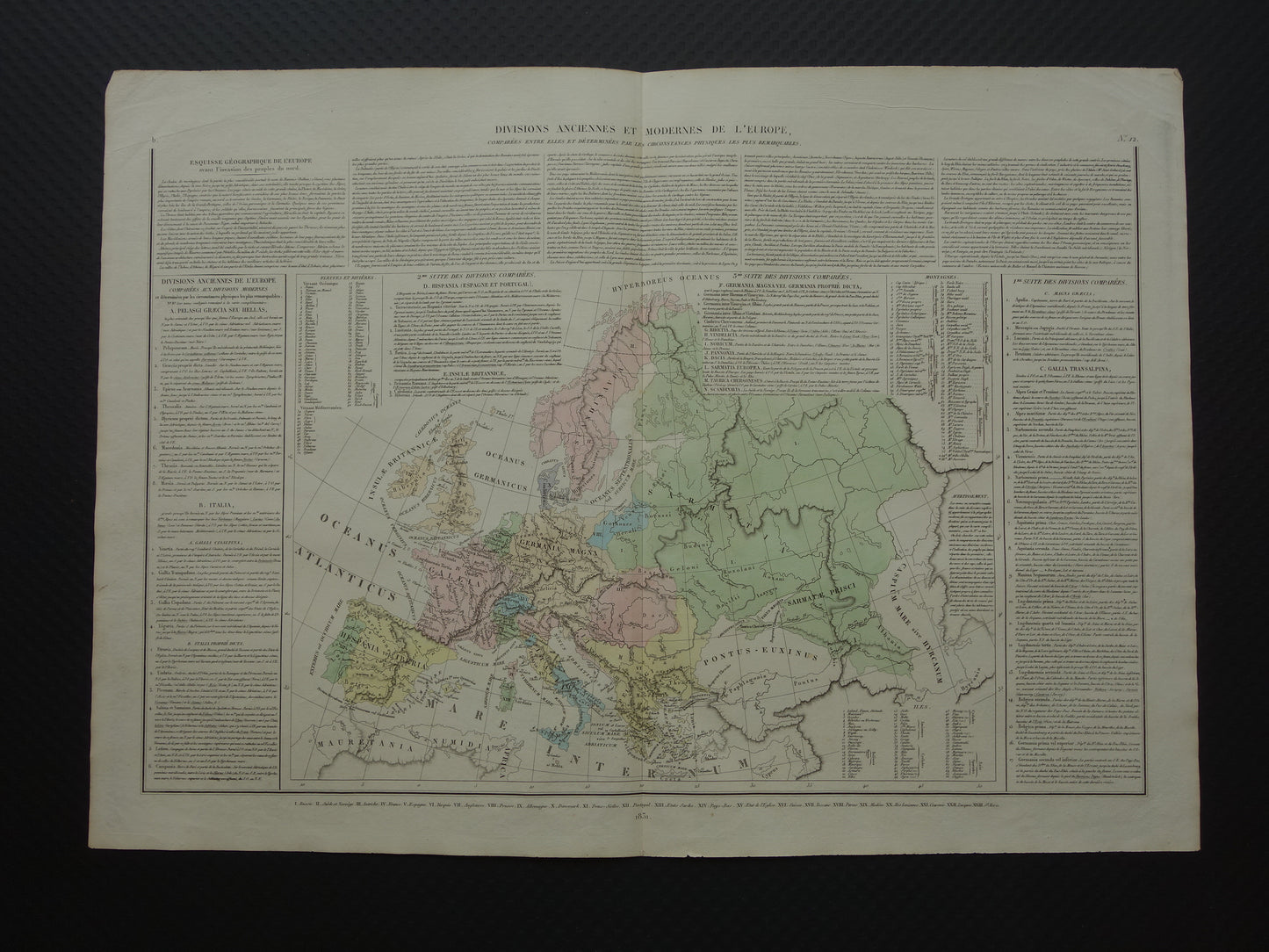
Large antique French map of Europe in classical antiquity. The title of the map is: 'Divisions anciennes et moderns de l'europe comparees entre elles et determines par les circumconstances physiques les plus remarquables'.
With extensive explanatory and additional text. It is a fairly small font and can be difficult to read with the naked eye. Rare.
Dimensions: 43 x 59.5 cm
Condition: good. Some minor signs of age/use, but in good overall condition. Dog-eared upper corners. With a centrefold, as issued.
Origin: Historical Atlas of Europe - Denaix
ORDER WITHOUT RISK At Oudekaarten.com you always order without risk. Are you not completely satisfied with your purchase? You can return your purchase free of charge and get your full purchase price back.
We sell only original antique and vintage maps. We guarantee that your purchase was made on or around the date stated in the description.
Fast shipping
We will ship your order the next business day at the latest. Free shipping within the Netherlands when purchasing 2 cards. Click here for more information
"Beautiful card, exactly as described. Fast shipping and the card was packaged perfectly. Great transaction, thank you very much!"
ANNE ESCHER
Choosing a selection results in a full page refresh.