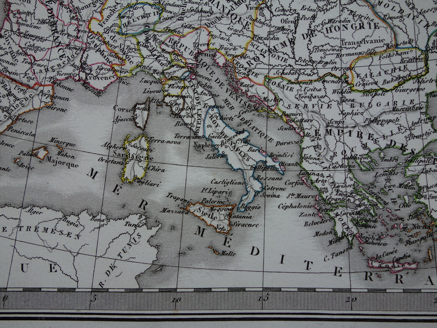
For sale is a set of four beautiful antique French maps on two sheets about the history of Europe. The maps show Europe in the year 350 (before the fall of the Roman Empire), Europe at the end of the 5th century (after the fall of the Roman Empire), in the year 800 (at the time of Charlemagne) and finally the year 1500 (at the time of Charles V). The colorful maps are hand-colored copper engravings.
Dimensions: 50 x 66 cm per sheet
Condition: The sheet with the maps from before and after the fall of the Roman Empire has tears on both sides of the centerfold (left 4 cm, right 2 cm). The other sheet has repairs in the right and left margins and a fold in the paper in the left margin at the top. In good general condition. Printed on heavy paper.
Origin:Atlas universel de geographie ancienne et modern - M. Lapie - Edition of 1829/1833
ORDER WITHOUT RISK At Oudekaarten.com you always order without risk. Are you not completely satisfied with your purchase? You can return your purchase free of charge and get your full purchase price back.
We sell only original antique and vintage maps. We guarantee that your purchase was made on or around the date stated in the description.
Fast shipping
We will ship your order the next business day at the latest. Free shipping within the Netherlands when purchasing 2 cards. Click here for more information
"Beautiful card, exactly as described. Fast shipping and the card was packaged perfectly. Great transaction, thank you very much!"
ANNE ESCHER
Choosing a selection results in a full page refresh.