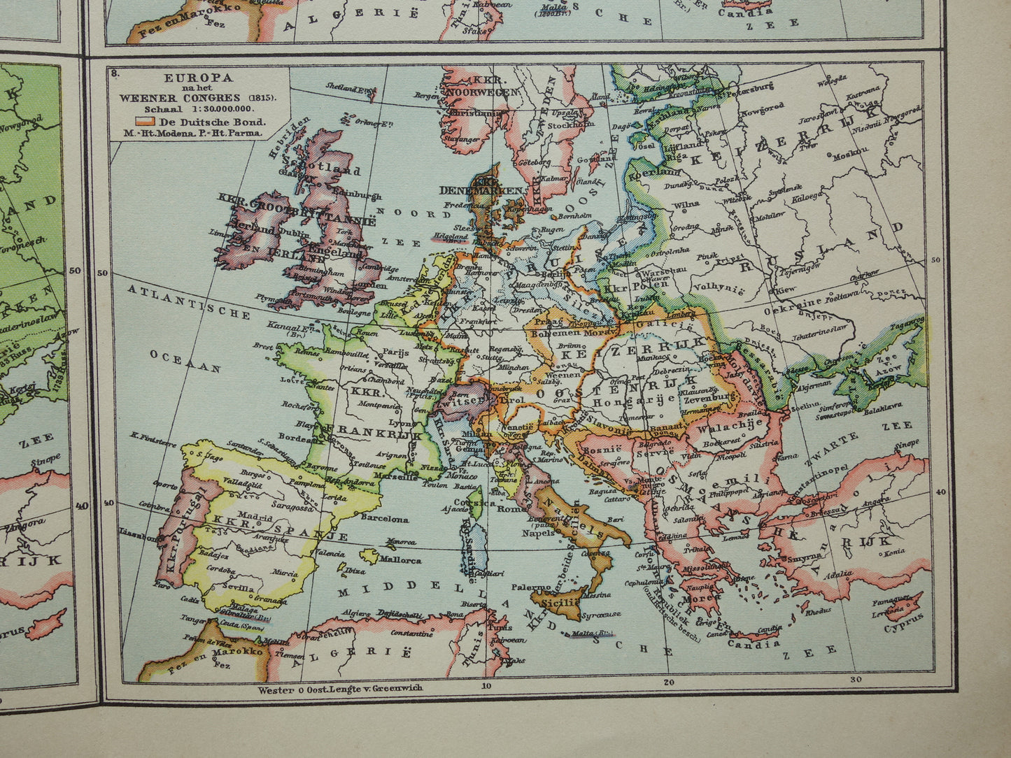
For sale is a set of two Dutch prints with a total of eight maps on the history of Europe. The maps show Europe in the year 476 (the fall of the Roman Empire) up to and including Europe after the Congress of Vienna (1815). Also includes maps of the year 1789 and of the largest Napoleonic Empire. Beautiful, colourful maps.
Dimensions: both prints measure 25 x 31.5 cm
Condition: in good condition (= some minor signs of age/use - faint dog-ears in top corners). With a vertical centre fold, as issued.
Origin: Winkler Prins encyclopedia - 1935 edition
ORDER WITHOUT RISK At Oudekaarten.com you always order without risk. Are you not completely satisfied with your purchase? You can return your purchase and get a full refund. Returns are free for Dutch customers.
We sell only original antique and vintage maps. We guarantee that your purchase was made on or around the date stated in the description.
Fast shipping
We will ship your order the next business day at the latest. Free shipping within the Netherlands when purchasing 2 cards. Click here for more information
"Beautiful card, exactly as described. Fast shipping and the card was packaged perfectly. Great transaction, thank you very much!"
ANNE ESCHER
Choosing a selection results in a full page refresh.