Skip to product information
1 of 13

Oudekaarten.com

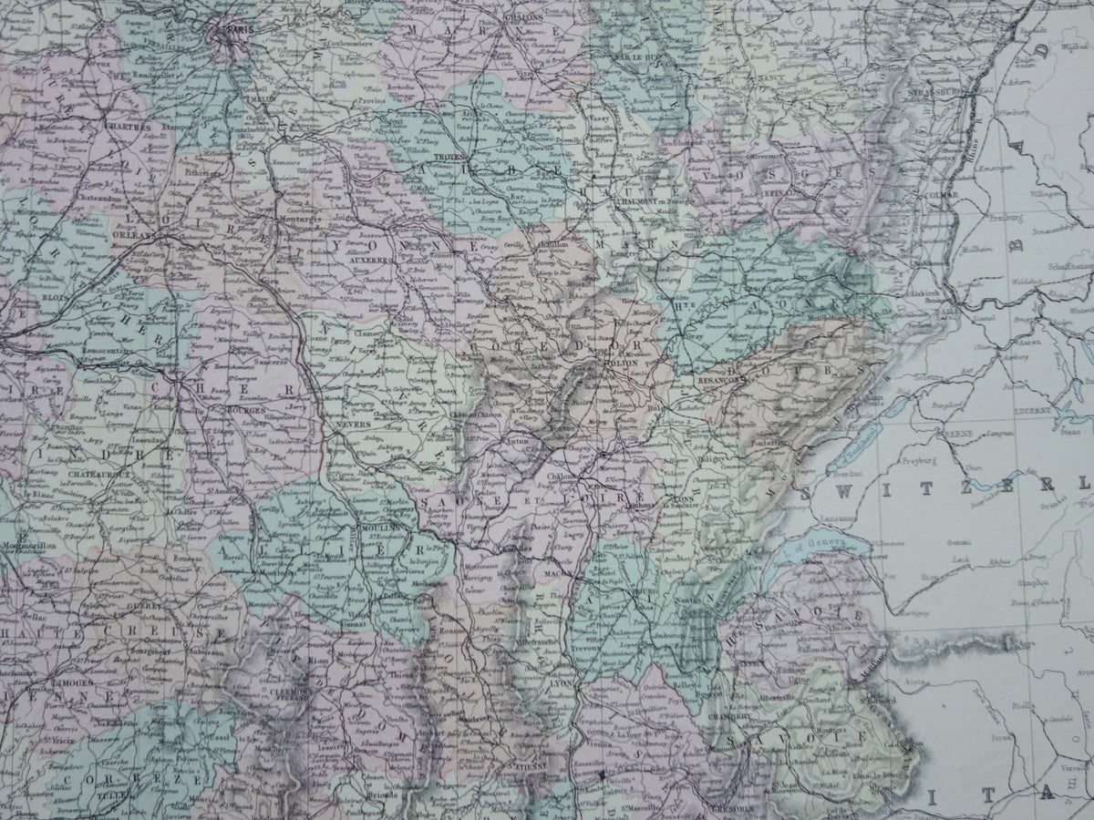
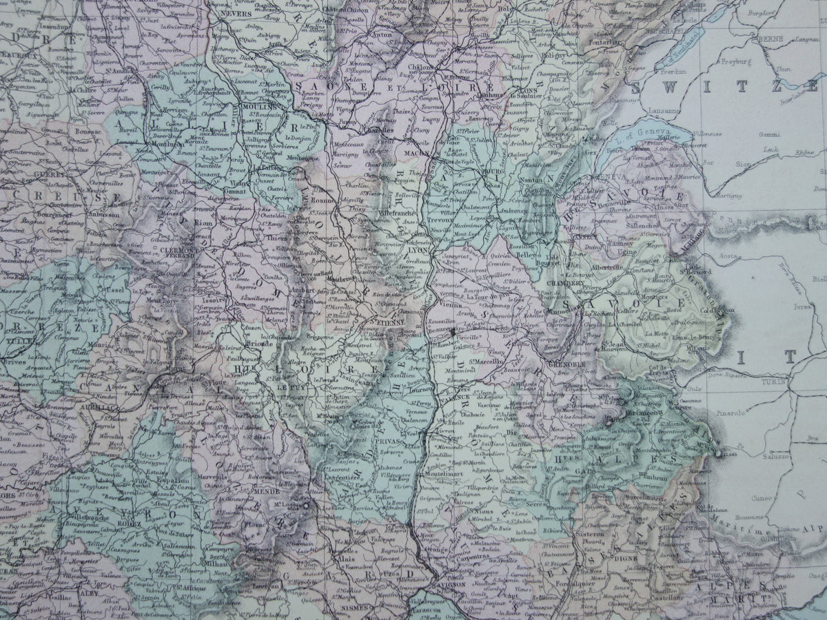
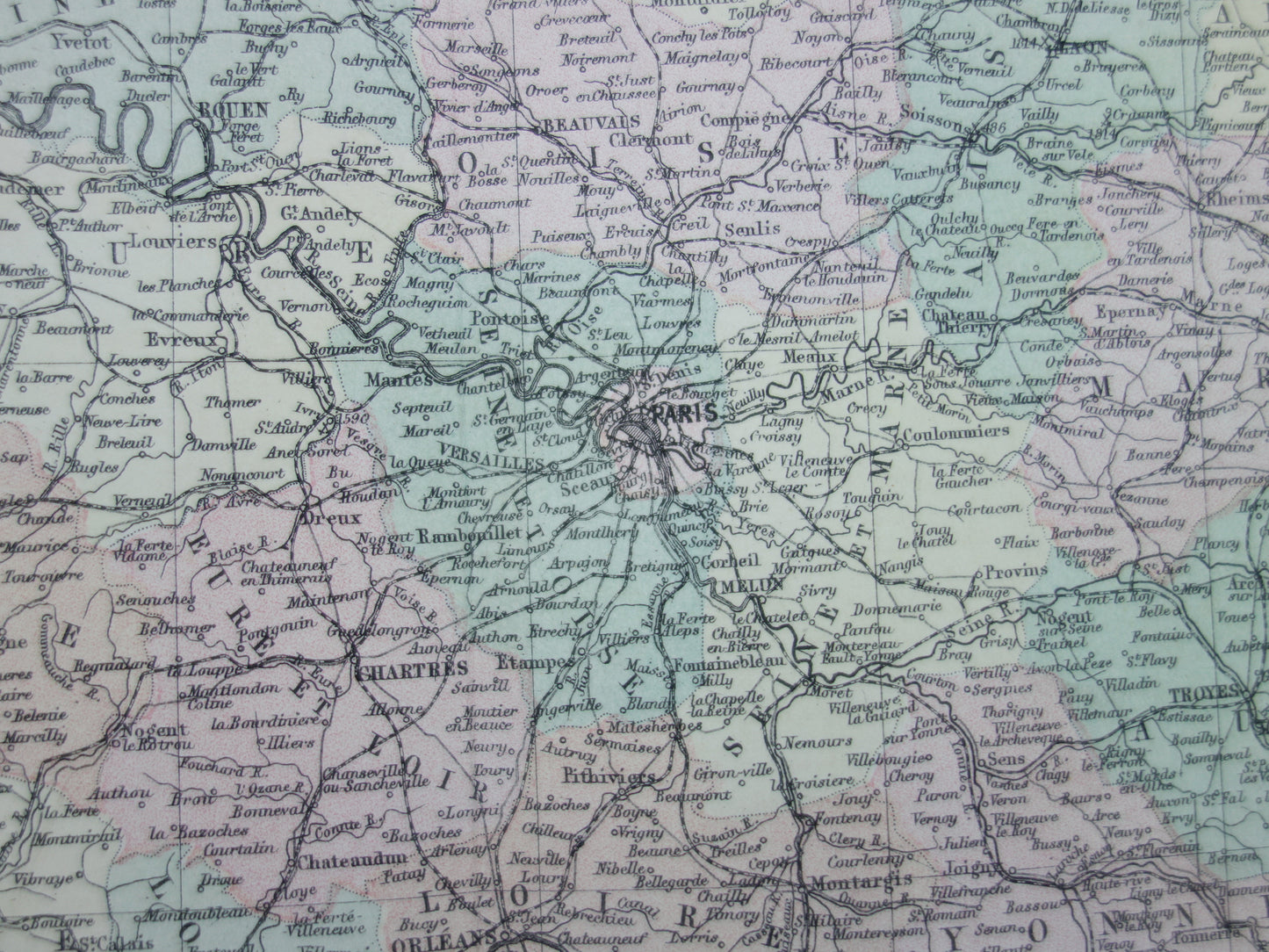
Large old map of France from 1877 original antique map poster

Large old map of France from 1877 original antique map poster

Regular price $96.00
Regular price Sale price $96.00
Sale Sold out
Shipping calculated at checkout.

For sale is a beautiful large old map of France from the year 1877. This colorful English map also shows railways and submarine telegraph lines. A nice detail is that it is clear to see that this map is based on an earlier map, in which Alsace-Lorraine still belonged to France (i.e., a map from before the Franco-Prussian War of 1870). The map is much more detailed in Alsace-Lorraine than in other foreign areas.

Dimensions: 55 x 71 cm

Condition: good / very good. Issued with a central fold. A 1 cm tear at the bottom of the central fold.

Origin: Atlas Universel - W. Hughes - Published 1877

View full details
  • Guaranteed original old maps

    We sell only original antique and vintage maps. We guarantee that your purchase was made on or around the date stated in the description.

  • Fast shipping

    We ship same or next business day. Free or discounted shipping when you order two items. Click here for more info

"Beautiful card, exactly as described. Fast shipping and the card was packaged perfectly. Great transaction, thank you very much!"

ANNE ESCHER