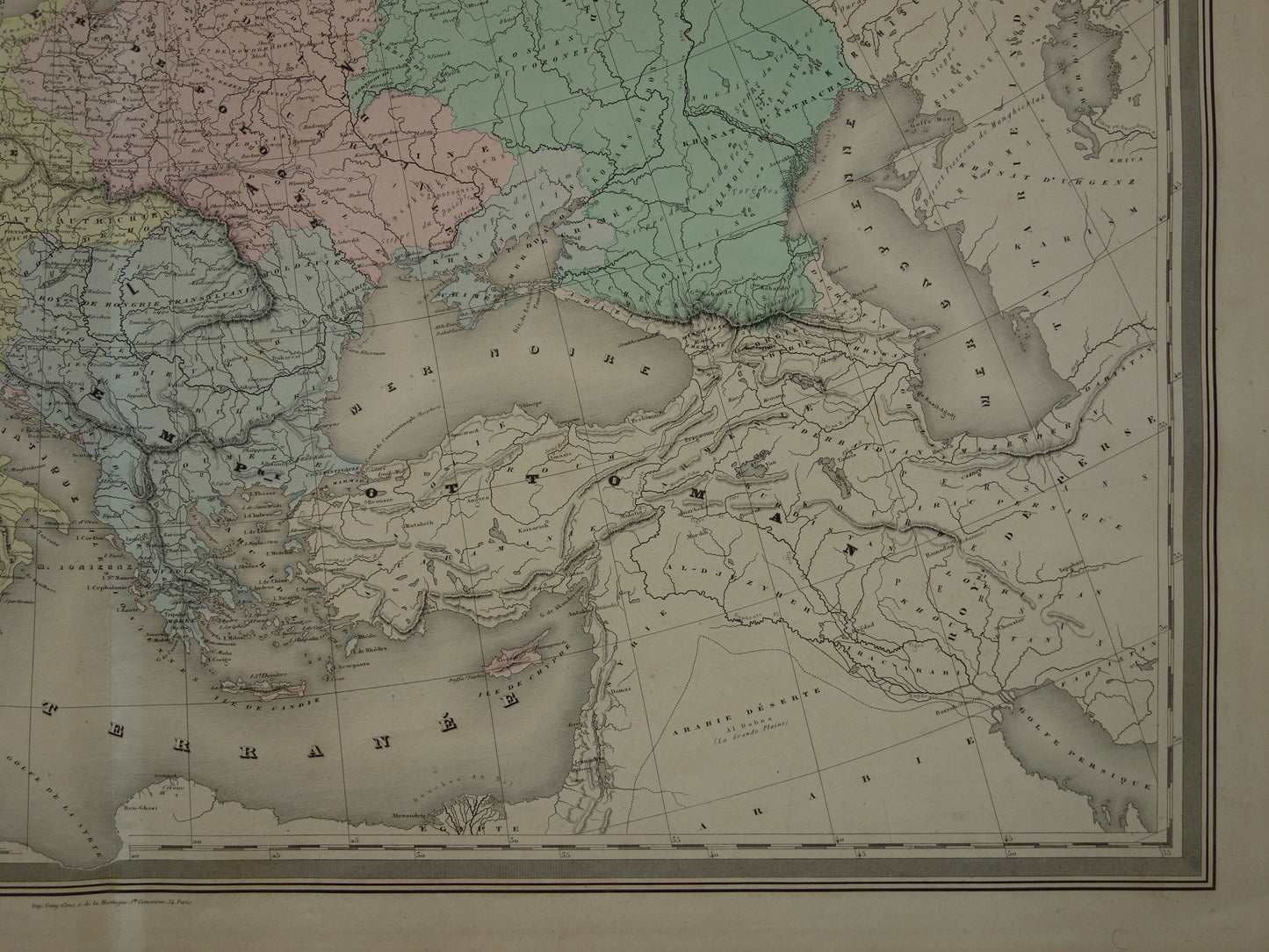
For sale is a beautiful French map of Europe during the time of Emperor Charles V (16th century). The map has beautiful hand-colored colors.
Dimensions: 60 x 82 cm (very large for an antique map)
Condition: In good overall condition (some minor signs of age/use). Published with a (vertical) centerfold. The paper immediately to the right of the centerfold is slightly whiter due to the glue used to attach the map to the atlas (see the first and last photos). The paper is intact. The back is blank. In good overall condition.
Origin: Atlas Universel, Physique, Historique et Politique - AH Dufour- Edition 1886 (approximately)
ORDER WITHOUT RISK At Oudekaarten.com, ordering is always risk-free. Not completely satisfied with your purchase? You can return it free of charge and receive a full refund.
We sell only original antique and vintage maps. We guarantee that your purchase was made on or around the date stated in the description.
Fast shipping
We will ship your order the next business day at the latest. Free shipping within the Netherlands when purchasing 2 cards. Click here for more information
"Beautiful card, exactly as described. Fast shipping and the card was packaged perfectly. Great transaction, thank you very much!"
ANNE ESCHER
Choosing a selection results in a full page refresh.