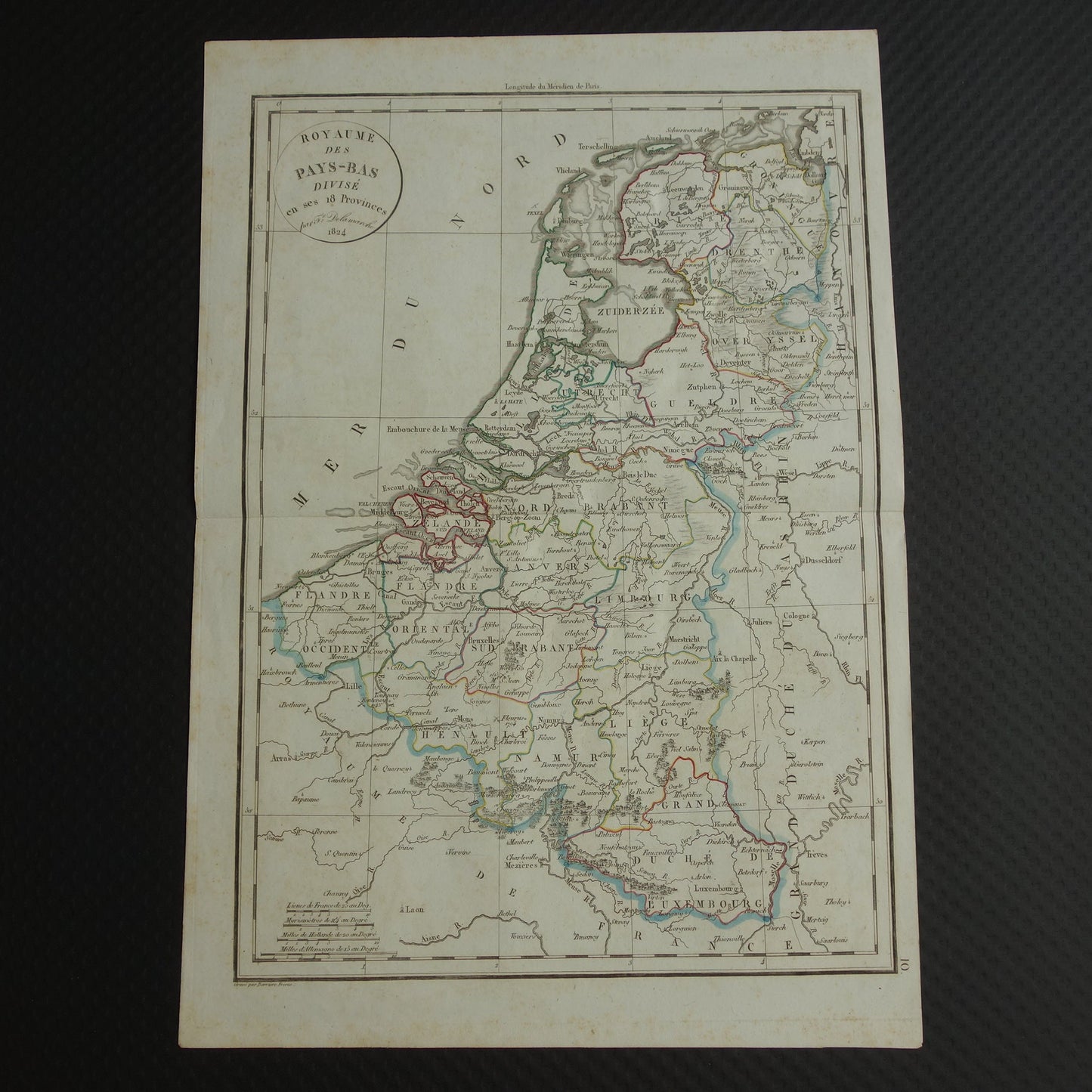
For sale is a beautiful 200+ year-old French map of the Netherlands in 1824 (when Belgium was still part of the kingdom). The year 1824 is reflected in the title. The map is hand-colored.
Dimensions: 32.5 x 47 cm
Condition: Good overall. The paper has some brown age spots; please see the photos. Some faint pencil marks are visible in some places, but these are barely noticeable. The map has a center fold, as issued.
Origin: F. Delamache - 1825
ORDER WITHOUT RISK At Oudekaarten.com, ordering is always risk-free. Not completely satisfied with your purchase? You can return it and receive a full refund. Returns are free for Dutch customers.
We sell only original antique and vintage maps. We guarantee that your purchase was made on or around the date stated in the description.
Fast shipping
We will ship your order the next business day at the latest. Free shipping within the Netherlands when purchasing 2 cards. Click here for more information
"Beautiful card, exactly as described. Fast shipping and the card was packaged perfectly. Great transaction, thank you very much!"
ANNE ESCHER
Choosing a selection results in a full page refresh.