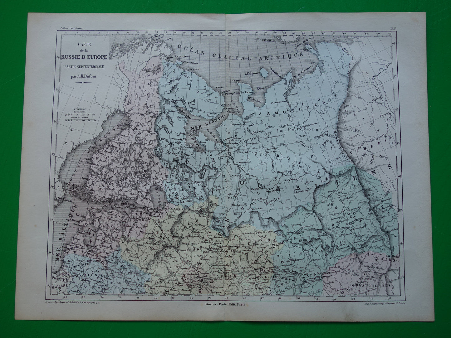
For sale is an old map of the north of European Russia (including the White Sea, a part of the Barents Sea, St. Petersburg, the Baltic States and Finland) from the year 1858. This French map is hand-colored. Wide margins and printed on sturdy paper, very suitable for framing.
Dimensions: 27.5 x 36.5 cm
Condition: the map is in good condition (= only some minor signs of age / use). Issued with a centerfold.
Origin:Geographie Universelle - Malte-Brun / Dufour - Paris 1858
FAST SHIPPING This card will be shipped within 1 business day.
ORDER WITHOUT RISK At oudekaarten.com you order without risk. Are you not satisfied with your purchase? You can return your purchase free of charge and get your full purchase price back.
We sell only original antique and vintage maps. We guarantee that your purchase was made on or around the date stated in the description.
Fast shipping
We will ship your order the next business day at the latest. Free shipping within the Netherlands when purchasing 2 cards. Click here for more information
"Beautiful card, exactly as described. Fast shipping and the card was packaged perfectly. Great transaction, thank you very much!"
ANNE ESCHER
Choosing a selection results in a full page refresh.