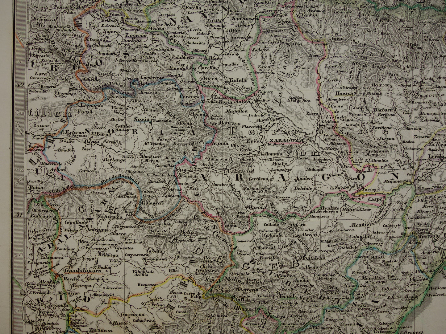
For sale is a very large antique map of Spain and Portugal in the year 1860. This German map consists of four parts that together form a large and detailed map. At the bottom left are three inset maps: a map of the area around Cadiz, a map of the area around Lisbon and a small map of Madrid. The maps are hand-coloured copper engravings. The year 1860 is printed in the title at the bottom right. At the top left is an index with all Spanish and Portuguese provinces.
Dimensions: 73 x 89 cm (combined). Each sheet measures 36.5 x 44.5 cm.
Condition: the map is in good general condition, the paper has some small signs of age and use, but is completely intact. All parts are issued with a (vertical) centerfold
Origin:Stieler's Hand Atlas - Edition of 1860
ORIGINAL ANTIQUE MAP Oudekaarten.com only sells original old maps, we do not sell modern reprints.
ORDER WITHOUT RISK At Oudekaarten.com you always order without risk. Are you not completely satisfied with your purchase? You can return your purchase free of charge and get your full purchase price back.
FAST SHIPPING This card will be shipped within 1 business day.
We sell only original antique and vintage maps. We guarantee that your purchase was made on or around the date stated in the description.
Fast shipping
We will ship your order the next business day at the latest. Free shipping within the Netherlands when purchasing 2 cards. Click here for more information
"Beautiful card, exactly as described. Fast shipping and the card was packaged perfectly. Great transaction, thank you very much!"
ANNE ESCHER
Choosing a selection results in a full page refresh.